
Dark storm clouds rolled rapidly over Western Australia's coastline as gale-force winds lashed the shore, marking the arrival of a severe winter system. The powerful cold front is now moving eastward, bringing a destructive blend of damaging winds, heavy rainfall, and potential flooding across multiple states. Bureau of Meteorology senior meteorologist Ilana Cherny warned residents to prepare for a 'wet, windy and wintry weekend ahead' as the cold blast moves across the continent.
Why This Is Trending
The sudden arrival of this aggressive winter system has triggered widespread severe weather warnings across Western Australia, South Australia, Victoria, and New South Wales. Millions of Australians are bracing for significant travel disruptions, power outage risks, and localized flooding. The sharp escalation in weather severity follows an unusually warm start to the season, making the dramatic drop in temperatures and high-wind forecasts a major concern for weekend plans and commuter safety.
What Happened
The system made landfall over Western Australia overnight before expanding rapidly into South Australia. Coastal regions felt the immediate brunt of the front on Saturday morning, with Rottnest Island recording wind gusts reaching 96km/h by 8:54am. The severe weather belt is set to intensify as it shifts into the south-eastern states on Sunday, driven by a deep low-pressure system that threatens to push wind speeds beyond warning thresholds across capital cities and regional centers alike.
What We Know So Far
Official forecasts confirm widespread rainfall totals between 20mm and 40mm across southern Australia, with elevated and coastal pockets facing 50mm to 80mm. The high country of north-east Victoria could see totals reaching up to 100mm. A second cold front is tracking closely behind, scheduled to hit Western Australia on Monday before reaching eastern states by Tuesday and Wednesday.
- Wind Speeds: Peak gusts exceeding 100km/h are expected in alpine areas and exposed coastal regions. Perth suburbs face gusts near 80km/h, Adelaide up to 70km/h, and Sydney, Melbourne, and Canberra could see peak winds top 90km/h on Monday.
- Flood Warnings: Initial flood watches cover 10 catchments in Victoria and NSW, including the Snowy, Mitchell, Macalister, Bunyip, Yarra, Upper Murray, Mitta Mitta, Kiewa, Ovens, King, Broken, and Goulburn rivers, as well as Dandenong Creek.
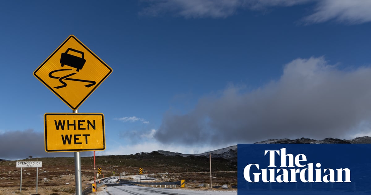
- Snowfall Impact: Heavy weekend rain will initially melt low-elevation snowpack before cold temperatures reset conditions. Weatherzone forecaster Anthony Sharwood indicated the system could deliver over 0.5 metres of fresh snow above 1,800m elevations. Snow depths at Spencers Creek in NSW recently reached 87.1cm, officially surpassing the 2006 record low of 85.1cm.
- Rare Sightings: Authorities note a rare dusting of snow is possible atop Bluff Knoll in WA's Stirling Range, with snow levels dropping to 1,000 metres in central NSW tablelands by mid-week.
Why It Matters
For regional communities and agricultural sectors, the broad soaking provides much-needed relief, marking the best rainfall in over a month across several farming districts. However, the accompanying wind speeds create substantial risks of fallen trees and widespread infrastructure damage. Emergency services are urging residents to secure loose property and remain cautious around swollen catchments, as rapid river rises could isolate rural properties early in the work week.
What Happens Next
The initial low-pressure system will shift its primary strength to eastern Australia by Monday, generating peak wind gusts across major metros. State emergency teams are monitoring catchment levels closely as runoff accumulates from the persistent rainfall. Ski resorts in NSW and Victoria expect snow levels to lower progressively from Wednesday, setting up potentially strong conditions for the mid-August ski calendar despite the initial rain wash.
Frequently Asked Questions
Which regions face the highest risk of flooding?
Flood watches are active for catchments across Victoria and southern NSW, including the Yarra, Goulburn, Ovens, Upper Murray, Mitchell, and Snowy rivers, along with Dandenong Creek.
How strong will the winds get in major cities?
Perth can expect coastal gusts around 80km/h, Adelaide around 70km/h, while Sydney, Melbourne, and Canberra may experience gusts exceeding 90km/h on Monday.
Will it snow in Western Australia?
Yes, the Bureau of Meteorology indicates a rare dusting of snow is possible on Bluff Knoll in the Stirling Range during the cold blast.
How much rain is expected overall?
Most southern areas will see 20mm to 40mm, with coastal and mountainous areas receiving 50mm to 80mm, and up to 100mm in north-east Victoria over the five-day period.