
Why Hurricane Nolo Is Testing Hawaii's Storm Resilience
While major Hurricane Nolo is currently tracking westward and away from the main Hawaiian Islands, its approach has left residents grappling with severe storm fatigue following an unprecedented succession of severe Pacific weather events. Although the Category 4 storm spared the region from the catastrophic direct hits seen earlier in the season, heavy rainfall, high surf, and lingering infrastructure vulnerabilities continue to impact communities across the state.
Why This Is Trending
The system has captured national attention as the third major hurricane threat to approach Hawaii in recent weeks, following the destructive paths of Hurricanes Lala and Lowell. Coming on the heels of previous disasters that saturated soils and washed out roadways, Nolo prompted emergency declarations from both state and federal officials, activating hundreds of National Guard members and forcing widespread closures of schools and government offices.
What Happened
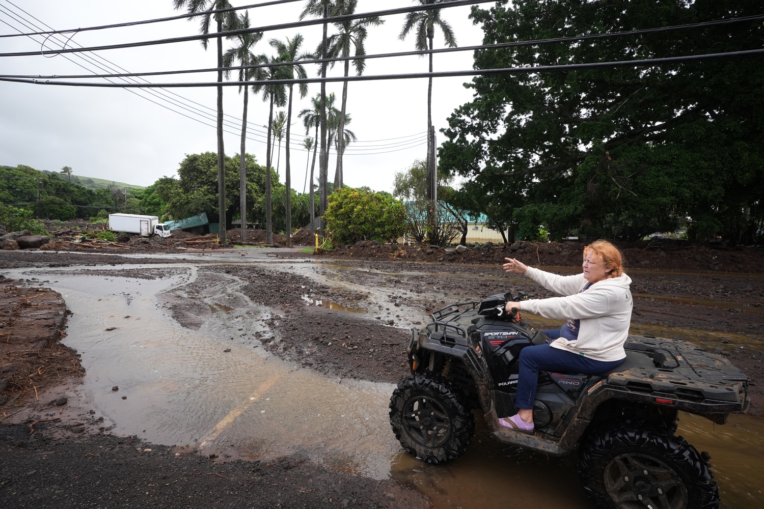
As Nolo brushed past the islands, heavy bands of moisture triggered localized flooding, landslides, and road closures, particularly in storm-scarred regions of the Big Island and Maui County. Officials noted that while the storm’s center remained offshore, the cumulative impact of saturated terrain from previous weather events amplified the hazards of wind and water.
What We Know So Far
As of late Monday, Nolo maintained maximum sustained winds near 145 mph while moving west-northwest at approximately 12 mph. Forecasters at the Central Pacific Hurricane Center note that the system is beginning a gradual weakening trend due to increasing wind shear as it tracks toward the Papahānaumokuākea Marine National Monument. Meanwhile, emergency services remain on high alert, and high surf advisories continue to affect south- and west-facing shores throughout the island chain.
Why It Matters
The extraordinary level of activity in the eastern and central Pacific basin — featuring 19 named storms this season— highlights a broader climatological pattern influenced by super El Niño conditions, which generate exceptionally warm ocean waters and minimal wind shear. For local residents and municipal infrastructure in the U.S., these intensifying weather cycles mean shorter recovery windows between major storms and mounting challenges for long-term disaster management and community resilience.
What Happens Next
Meteorologists expect Nolo to continue weakening through the middle of the week as it makes its closest approach to the Papahānaumokuākea Marine National Monument, where hurricane conditions are anticipated. State and county agencies will continue monitoring residual flood risks, assisting displaced residents, and evaluating drainage mitigation projects to better protect vulnerable coastal infrastructure against future seasonal threats.
Frequently Asked Questions
Did Hurricane Nolo make landfall in Hawaii?
No, the center of Hurricane Nolo remained offshore and tracked south and west of the main Hawaiian Islands, though its outer bands brought heavy rain, high surf, and localized flooding.
What wind speeds did Hurricane Nolo reach?
Nolo reached Category 4 intensity with maximum sustained winds of approximately 145 mph before beginning a gradual weakening trend.
Which areas were placed under hurricane warnings?
A hurricane warning was issued for the Papahānaumokuākea Marine National Monument from Nihoa to French Frigate Shoals as the storm advanced northward.
Why has the Pacific hurricane season been so active?
Experts attribute the unusually high storm count—surpassing 19 named storms—to warm ocean temperatures driven by active El Niño weather patterns.

Resources
Sources and references cited in this article.