
An unusual late-July Arctic front dumped up to 6 inches of snow on northern Alaska's Dalton Highway, creating hazardous ice sheets and driving wind chills down to 11 degrees. The sudden mid-summer snowstorm caught drivers off guard across Atigun Pass before clearing out as temperatures begin to rebound.
Why This Is Trending
The National Weather Service in Fairbanks issued a Winter Weather Advisory for the Central Brooks Range through July 27 as an Arctic low-pressure system in the Beaufort Sea swept south. The system brought winter conditions during the final week of July, surprising travelers and commercial haulers accustomed to summer driving conditions.
What Happened
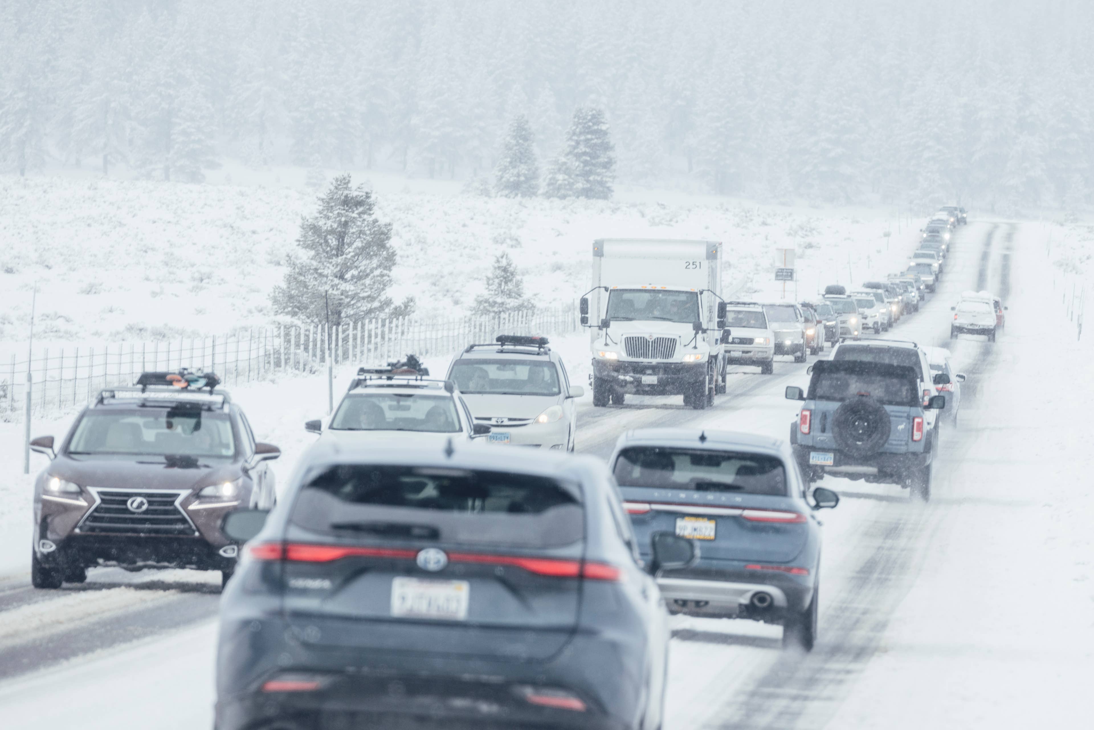
The Arctic front brought rain that transitioned into a wintry mix, freezing drizzle, and heavy snow across higher elevations. Automated snow gages across the Brooks Range recorded 1 to 7 inches of snow depth, with 1 to 5 inches lingering on the ground a full day after the official advisory expired.

The extreme cold hit Atigun Pass particularly hard, where air temperatures dropped to 26 degrees below the 5,000-foot level. Combined with north winds gusting to 34 mph, wind chill values dropped down to 11 degrees, leaving a glaze of ice over melted slush on the roadway.
What We Know So Far
The affected area stretched along the Dalton Highway from mile post 232 to mile post 322, covering critical crossings including Atigun Pass, Anaktuvuk Pass, and Galbraith Lake. Atigun Pass stands at 4,739 feet and is the highest pass in Alaska maintained year-round, serving as the sole road crossing over the Brooks Range.

Key details from the storm include:
- Snowfall: Widespread 2 inches, with up to 6 inches in higher mountain passes.
- Wind and Chill: North winds of 15 to 34 mph creating blowing snow and wind chills near 11 degrees.
- Temperature Turnaround: Highs in the northern regions hovered in the upper 30s to low 40s during the event.
Why It Matters
While high-elevation snow can occur in northern climates, a snowstorm in late July presents serious hazards because drivers are equipped for summer weather. Vehicles traveling without chains, extra layers, or snow tires face immediate danger when warm pavement melts initial snowfall, which then freezes into sheets of ice overnight under strong winds.
What Happens Next
The Arctic front is dissipating quickly, paving the way for a major statewide warming trend. High pressure will dominate the region through next Monday, pushing temperatures in Southcentral and Interior Alaska—including Fairbanks and Anchorage—back into the upper 60s and mid-70s with mostly sunny skies.
Frequently Asked Questions
Where did the summer snowstorm hit in Alaska?
The snow fell across the Central Brooks Range in northern Alaska, impacting the Dalton Highway between mile posts 232 and 322, including Atigun Pass and Galbraith Lake.How much snow fell during the July weather event?
Automated gages recorded between 1 and 7 inches of snow accumulation, with up to 6 inches hitting high-elevation mountain passes.Is the cold weather expected to continue?
No, a high-pressure system is clearing the region, bringing sunny skies and temperatures near 70 degrees across much of Interior and Southcentral Alaska through early August.