Last updated: April 17, 2026
Manitoba Weather Alert: Freezing Rain Turns Commutes into 'Curling Rinks'
Southern Manitoba is currently under a high-stakes weather lockdown as a late-season storm coats the province in a treacherous layer of ice. What started as a standard spring forecast has rapidly evolved into a significant safety hazard, leaving many residents trapped between slushy driveways and dangerous highways. If you haven't looked out your window yet, prepare for a literal ice rink at your doorstep.
What We Know So Far
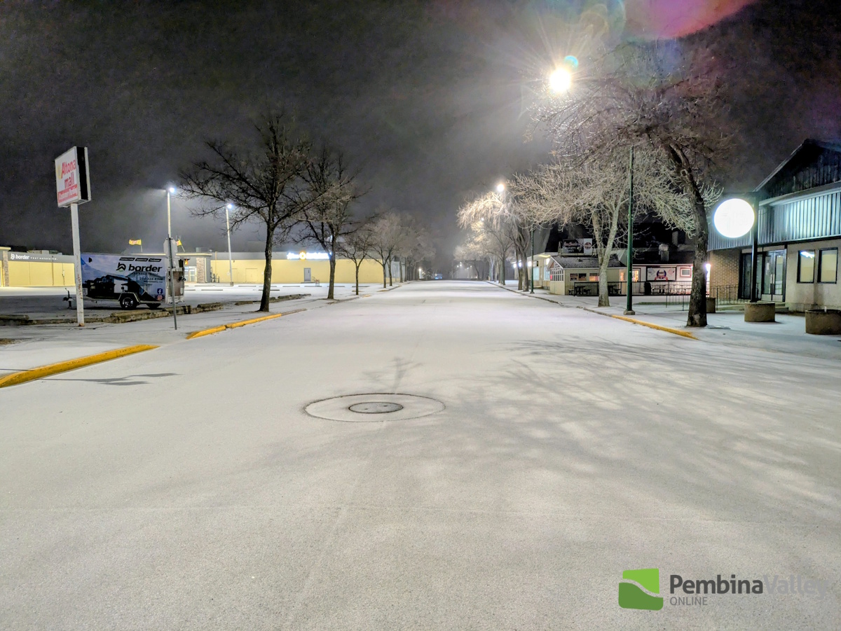
The yellow warning for freezing rain isn't just a precaution—it is a reality hitting communities from Winnipeg to the southeast corner of the province. Meteorologists are tracking a system that has effectively turned regional roads into glass. In places like Steinbach and Altona, the conditions are being described as 'like a curling rink', a uniquely Canadian comparison that highlights just how little traction drivers currently have.
Multiple highways have faced rolling closures throughout the morning as crews struggle to keep up with the accumulating ice. While some stretches have recently reopened, the Manitoba Infrastructure teams are urging extreme caution. It is a classic case of 'haste makes waste'; pushing the speed limit today could land you in a ditch faster than you can tap your brakes.
The trouble isn't just on the pavement. The sheer weight of the ice on power lines and tree branches is a growing concern for utility workers. This late-season surge follows a pattern of volatile spring weather in the Prairies, but the timing is particularly brutal as many had already swapped out their winter tires for the season.
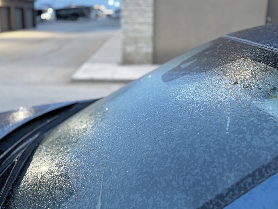
For those checking the radar, the transition from freezing rain to snow is expected to continue through the afternoon. This 'one-two punch' of ice followed by heavy snow creates a hidden danger: a layer of slippery glaze masked by a white dusting, making it nearly impossible for pedestrians and motorists to gauge the actual grip of the surface.
What People Are Saying
Local residents and weather experts are sounding the alarm on social media and regional news outlets, emphasizing that this isn't your average April shower.
It's like a curling rink out here. Freezing rain has made roads across the southeast incredibly dangerous.
The sentiment is echoed by forecasters who note that while southern Manitoba is used to snow, the specific temperature 'sweet spot' for freezing rain creates a much higher risk for infrastructure than a standard blizzard.
How This Affects You
If you are in the affected zones, specifically Winnipeg and the Southeast, your travel plans are likely compromised. Public transit in many areas is seeing significant delays, and school bus routes have been cancelled in several divisions to ensure student safety. For those heading out, the 511 Manitoba map is your best friend right now; check for updated highway closures before leaving the house.

Beyond the immediate commute, there is a looming concern regarding spring flooding. The addition of significant moisture to already saturated ground could complicate the melt-off in the coming weeks. For homeowners, it is a good time to ensure your sump pump is operational, even if things look frozen solid today.
Coming Up
Forecaster Riley Laychuk and the CBC weather team indicate that while the ice is the immediate threat, a transition to heavy snow is slated for Friday evening. This system is expected to clear by Saturday morning, but the cleanup will take through the weekend. Residents should prepare for a drop in temperatures tonight, which will likely refreeze any melted slush, creating another 'black ice' hazard for Saturday morning errands.
At a Glance
- Warning: Yellow warning for freezing rain remains active for Winnipeg and Southeast Manitoba.
- Road Conditions: Described as 'curling rinks' with multiple highway closures reported.
- Travel Advice: Check local road reports before any non-essential travel.
- Infrastructure: Risk of power outages due to ice accumulation on lines and branches.
- Next Phase: System will transition into snow through Friday night.
- Long-term: Potential impacts on spring flood levels due to high moisture content.
Frequently Asked Questions
- Is it safe to drive in Manitoba right now?
- Officials recommend avoiding non-essential travel in the Southeast and Winnipeg areas until the freezing rain subsides and salt crews can treat the roads.
- What should I do if my power goes out?
- Keep your fridge and freezer closed to preserve food and ensure you have a battery-powered light source. Report outages to Manitoba Hydro immediately.
- Will the schools be closed tomorrow?
- Most school divisions make decisions early in the morning based on road conditions. Check your local school board website for Saturday activity cancellations.
- When will the freezing rain stop?
- The transition to snow is expected to occur by late Friday afternoon, which will stop the ice accumulation but create new driving challenges.

Resources
Sources and references cited in this article.