El Niño Southern Oscillation 2026: Comprehensive Global Weather Trend Summary
Forecasters from NOAA and international climate agencies confirmed on March 12, 2026, that a 'Super El Niño' is rapidly developing following the collapse of La Niña. This significant climatic shift is expected to drive global temperatures to unprecedented highs throughout the upcoming summer and into 2027. The transition marks a massive global weather shift that will impact hurricane seasons, coastal erosion, and winter patterns across North America and Europe.
TL;DR
- A powerful 'Super El Niño' is officially forecast to take hold by Summer 2026.
- The rapid collapse of La Niña is triggering a massive shift in global atmospheric pressure and heat distribution.
- Global temperatures are likely to reach record-breaking levels, potentially exceeding previous historical peaks.
- Significant impacts are expected for the 2026 Atlantic hurricane season and coastal stability.
What Happened
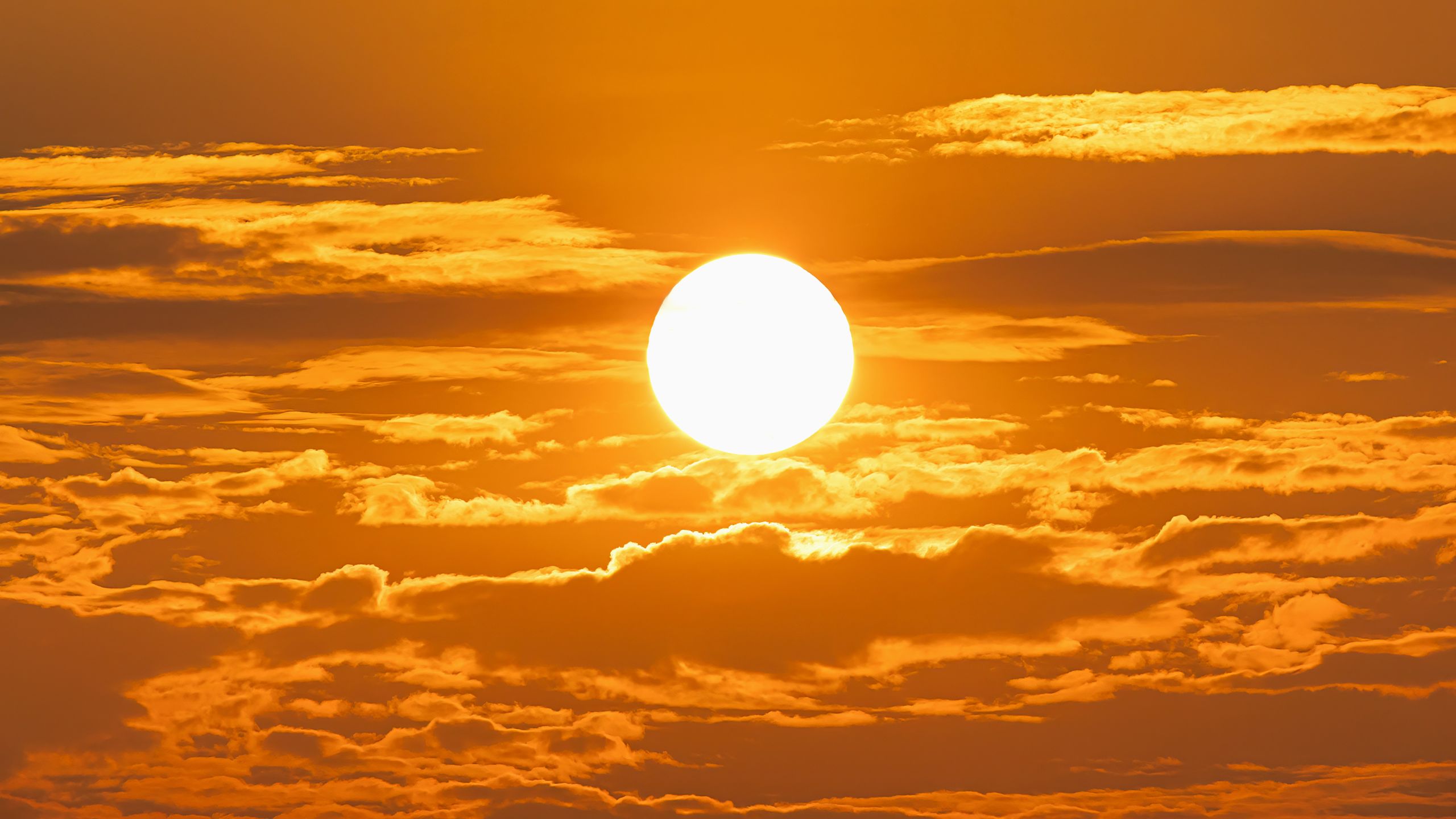
The National Oceanic and Atmospheric Administration (NOAA) and other global meteorological organizations reported a swift transition in the Pacific Ocean’s thermal structure during early March 2026. After a prolonged period of La Niña, which typically cools global temperatures, the trade winds have weakened significantly, allowing warm water to surge eastward toward South America. This movement has initiated the El Niño Southern Oscillation (ENSO) warm phase much faster than initially anticipated by seasonal models. Experts are now labeling this a 'Godzilla' or 'Super El Niño' event due to the magnitude of the sea surface temperature anomalies, which are projected to climb 2.0°C or more above the long-term average. The rapid collapse of the previous cold phase has left the atmosphere primed for an immediate and intense reaction, with heat being released from the ocean into the troposphere.
Key Developments
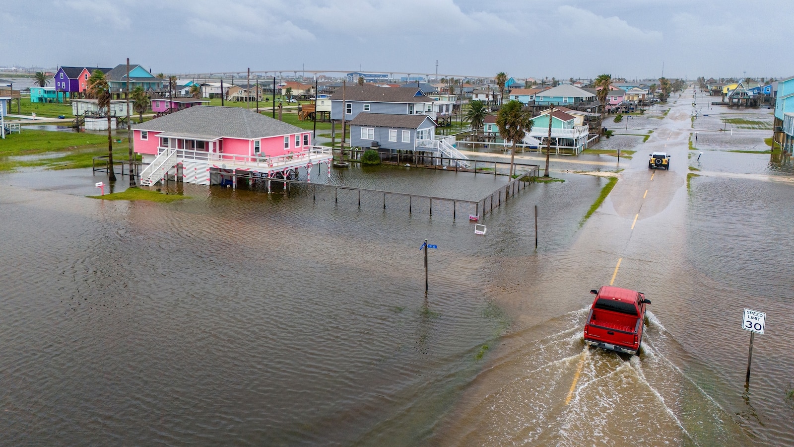
Climate scientists have identified several critical factors in the current 2026 development. The subsurface heat content in the tropical Pacific is currently at one of its highest levels for this time of year, providing the 'fuel' necessary for a prolonged event. Additionally, the 2026 Atlantic hurricane season is expected to face high wind shear, which typically suppresses storm development, though record-high sea surface temperatures in the Atlantic may counteract this effect. For those tracking the phenomenon, official NOAA climate portals provide real-time updates on ENSO status. Forecasters also note that the rapid onset could lead to increased coastal erosion along the Pacific Northwest and California as sea levels temporarily rise due to thermal expansion and altered current patterns. Specific data suggests a 90% probability that El Niño conditions will persist through the northern hemisphere winter of 2026-2027.
Why This Matters
The return of El Niño matters because it fundamentally alters the global jet stream, leading to predictable but often damaging weather patterns. For Canada and the Northern United States, this typically results in milder and drier winters, while the Southern US experiences cooler, wetter conditions. On a global scale, the additional heat released by a Super El Niño could push the planet past critical temperature thresholds, affecting crop yields and water security. It also influences the frequency of extreme 'surf' events; climate scientists explain that 'Godzilla' events often produce massive swells that test coastal infrastructure. Stronger El Niño events are directly correlated with accelerated glacier melt and coral bleaching episodes in the tropics.

What Happens Next
The climate community will monitor the 'spring predictability barrier' through April and May to determine the final peak intensity of the event. Communities in low-lying coastal areas are advised to prepare for higher-than-normal tides and potential flooding starting in September 2026. Agricultural sectors in Southeast Asia and Australia are already being warned of potential drought conditions late in the year, while South American nations prepare for heavy rainfall. The peak of the thermal anomaly is expected to occur between November 2026 and January 2027.
The rapid collapse of La Niña is triggering a massive global shift that we haven't seen at this speed in recent records.
Key Terms & Concepts
- El Niño Southern Oscillation (ENSO)
- A recurring climate pattern involving changes in the temperature of waters in the central and eastern tropical Pacific Ocean.
- Wind Shear
- A change in wind speed or direction with height, which can inhibit the formation and strength of tropical cyclones.
- Thermal Expansion
- The tendency of matter to change its shape, area, and volume in response to a change in temperature, often causing sea levels to rise as water warms.
Frequently Asked Questions
What is a Super El Niño?
A Super El Niño is an exceptionally strong version of the natural climate cycle, characterized by sea surface temperatures in the central Pacific rising at least 2.0°C above average. These events, like the one forecast for 2026, cause more extreme weather shifts globally than standard El Niño years.
How will El Niño affect the 2026 hurricane season?
Historically, El Niño increases wind shear over the Atlantic, which can tear apart developing storms and lead to a below-average number of hurricanes. However, scientists are concerned that record-warm ocean temperatures in the Atlantic in 2026 might still allow for significant storm activity.
When is El Niño expected to peak?
Current models from NOAA and other agencies indicate that the 2026 El Niño will reach its maximum intensity during the winter months, specifically between November 2026 and January 2027. This is when the atmospheric impacts are typically most pronounced in the Northern Hemisphere.
Will 2026 be the hottest year on record?
Forecasters say it is highly likely, as the 'Super El Niño' adds a temporary warming boost to the ongoing trend of global temperature rise. The event could push global averages to unprecedented highs, surpassing records set in 2023 and 2024.
Is El Niño related to La Niña?
Yes, they are opposite phases of the same cycle. While La Niña is the cold phase characterized by cooler Pacific waters, El Niño is the warm phase; the transition between them in early 2026 has been described as a 'rapid collapse' of the former into the latter.
Resources
Sources and references cited in this article.