

Last updated: Aug. 11, 2026, 12:17 p.m. CDT
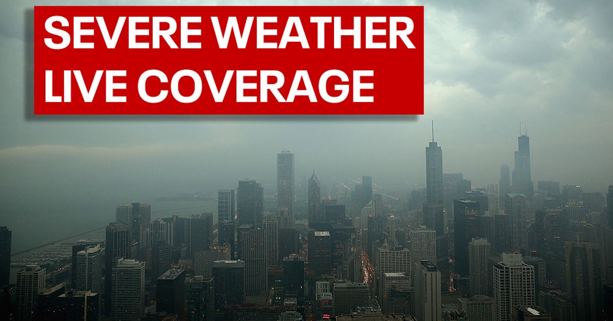
Severe storms swept across Chicago and its suburbs Tuesday morning, Aug. 11, triggering tornado warnings, forcing people into shelters and leaving widespread damage across northeastern Illinois and Northwest Indiana. Wind gusts approached or exceeded 100 mph in parts of the region, while fallen trees, power lines, flooding and overturned semis disrupted roads and neighborhoods. The immediate tornado warnings around Chicagoland expired by shortly after noon, but power outages, flooding and damage assessments continued.

What Is Happening
A fast-moving line of thunderstorms reached the Chicago area before 10 a.m. and intensified into a destructive squall line. NBC 5 Chicago reported that the system was capable of producing tornadoes as well as extensive straight-line wind damage, with the National Weather Service warning of measured gusts above 100 mph.
Tornado sirens sounded in Chicago, and downtown office workers were urged to take shelter around 10:45 a.m. Navy Pier moved guests and tenants into a parking garage, while shoppers at Oak Brook mall were sent to the basement. Radar also indicated a possible tornado near Oakbrook Terrace and Interstate 88, while another circulation was reported around Homewood.
The transportation impact was immediate. Ground stops affected both O'Hare and Midway airports, and ABC7 reported about 250 canceled flights at O'Hare, with delays of roughly an hour at both airports. On highways, multiple semis overturned, including crashes along Interstate 65 in Northwest Indiana, where downed power lines also forced closures.
The Background
The storms arrived after an already unusually wet stretch for the Chicago area. Block Club Chicago reported that Midway Airport had recorded more than 20 inches of rain since June 1, compared with roughly 13 inches during a typical full summer there.

That repeated rainfall has also strained the region's stormwater infrastructure. Before Tuesday's storms, NBC 5 reported the McCook Reservoir was already 95% full following heavy rain Sunday night. The reservoir had reached capacity seven times in 2026 alone, compared with five times total between 2021 and 2025.
The Latest Development
By 12:09 p.m., WGN-TV reported that all severe thunderstorm and tornado warnings in Chicagoland had expired, although flooding and power outages remained major hazards. Preliminary reports included a 99 mph gust in Gary, Indiana, and a 96 mph gust in Shorewood.
Flossmoor officials reported an unconfirmed tornado touching down around 11 a.m., with trees down and streets blocked. Patch, citing CBS News, reported that a tornado struck Homewood, Flossmoor, Thornton and Glenwood and was reportedly at least EF-2 strength. Other local reports still described the event as unconfirmed, and Block Club Chicago said the National Weather Service would confirm possible tornadoes during surveys in the following days.
Power failures stretched across a wide area. WGN reported nearly 290,000 ComEd customers affected at noon, while more than 270,000 NIPSCO customers in Northwest Indiana were also without power. ABC7 later reported that more than half a million customers across the broader Chicago area were without electricity.
What It Means
For residents, the danger did not disappear when the warnings expired. Downed power lines, blocked roads and standing water continued to create hazards in communities including Plainfield, Flossmoor, Orland Park, Homewood and Romeoville. Officials repeatedly urged residents to limit unnecessary travel and avoid flooded roads or fallen wires.
The combination of extreme wind and saturated ground also helps explain the widespread tree damage. With reservoirs already heavily filled before Tuesday's storms, additional rainfall increased the risk that drainage systems and roadways could be overwhelmed.
What Remains Unclear
The biggest unresolved question is how many tornadoes actually touched down and how strong they were. Radar signatures, trained spotter reports and local officials pointed to possible or apparent tornadoes in several communities, but formal National Weather Service storm surveys were still needed to confirm tracks and ratings.
The full scale of property damage was also still being assessed Tuesday afternoon. No complete region-wide damage total was available in the supplied reports, and outage numbers were changing as utilities responded to the storm.
FAQ
Did a tornado hit Chicago on Aug. 11, 2026?
Tornado warnings covered Chicago and surrounding counties. Local reports described tornadoes or possible tornadoes in several suburbs, but National Weather Service confirmation was still pending for some locations.
How strong were the winds in the Chicago storms?
Measured and preliminary gusts reached about 100 mph, including a 99 mph report in Gary, Indiana, while the National Weather Service warned of gusts over 100 mph in the storm line.
Were O'Hare and Midway airports affected?
Yes. Both airports experienced ground stops or delays, and ABC7 reported about 250 canceled flights at O'Hare.
How many people lost power?
WGN reported nearly 290,000 affected ComEd customers and more than 270,000 NIPSCO customers around noon. ABC7 later reported more than half a million customers without power across the Chicago area.
Are the tornado warnings still active in Chicago?
WGN reported that all tornado and severe thunderstorm warnings for Chicagoland had expired by 12:09 p.m. Tuesday, though flooding, outages and storm damage remained.
Why was flooding a concern?
Chicago had already experienced a very wet summer, and the McCook Reservoir was reported 95% full before Tuesday's storms. Heavy additional rainfall caused flooded roads and viaduct closures in several communities.