UK Braces for a Deep Freeze as Arctic Air Raises ‘Beast from the East’ Comparisons
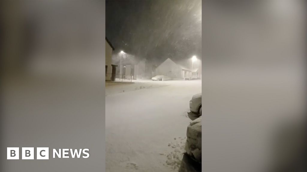
The UK is once again gripped by mounting concern over a surge of Arctic air that forecasters say could deliver widespread snow, ice, and disruptive cold. A flurry of headlines over recent days has revived memories of the infamous “Beast from the East,” with tabloids, regional outlets, and official sources all tracking a volatile winter pattern that may unfold over the coming week. While the language varies, the underlying theme is consistent: a sharp cold spell is colliding with Atlantic systems, creating uncertainty about where, when, and how severely winter weather will strike.
Main Topic Overview
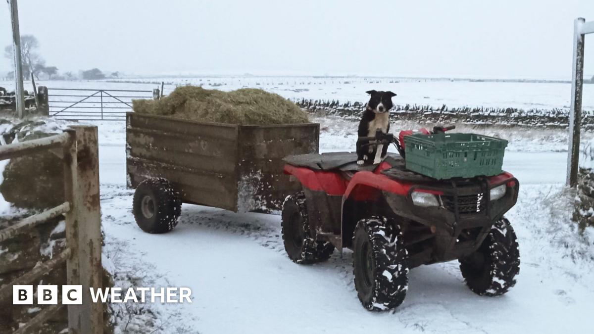
At the heart of the current trend is a southward push of Arctic air into the UK, driven by shifts in upper-atmosphere circulation. Meteorologists describe this as a classic winter setup: cold continental air meeting milder, moisture-laden Atlantic weather. Depending on how these systems interact, outcomes can range from dry but bitter cold to heavy snowfall, drifting snow, and, in higher terrain, avalanche risk. This is not the first time such a pattern has emerged in recent winters, but the breadth of warnings and the intensity of forecasts have elevated public attention.
News Coverage
Exact date huge 'Beast from the East' style storm will hit UK with inches of snow

The Daily Star frames the developing situation around a specific arrival date, drawing direct comparisons with the 2018 “Beast from the East.” Its reporting focuses on model projections suggesting several inches of snow in parts of the country, particularly where cold air becomes entrenched. The article leans heavily on dramatic language but reflects a broader media tendency to anchor complex forecasts to a single moment in time. In reality, as the piece acknowledges indirectly, the timing remains sensitive to small atmospheric shifts that can advance or delay snowfall by days.
Six UK areas slapped with AVALANCHE warnings after Arctic blast
This report highlights the knock-on effects of sustained cold in upland regions, where repeated snowfall and freezing temperatures increase avalanche risk. By focusing on six named areas, the article underscores how winter hazards extend beyond travel disruption into public safety concerns for walkers and rural communities. While the tone is urgent, it mirrors official guidance that avalanche conditions can develop rapidly when fresh snow overlays older, icy layers. The piece situates the Arctic blast as an ongoing process rather than a single event.
UK snow forecast with avalanche warnings as six areas face serious hazard

The Mirror expands on similar warnings, placing them within a broader national forecast that includes lowland snow and icy conditions. Its analysis stresses uncertainty, noting that small temperature changes could mean rain in one area and heavy snow in another. The article connects current alerts to previous winters, reminding readers that avalanche warnings, while relatively rare in the UK, are not unprecedented during prolonged cold spells. This historical framing adds context to what might otherwise seem an exceptional scenario.
Next UK snow bomb will hit counties in England – with only four spared

This regional piece narrows the focus to England, mapping out which counties could see the heaviest impacts. By listing areas “spared,” it implicitly highlights the uneven nature of winter weather, where geographical quirks and elevation play decisive roles. The reporting aligns with a wider narrative: the cold is likely to be widespread, but snowfall distribution will be patchy. Such coverage reflects public demand for hyper-local clarity during uncertain forecasts.
UK weather maps show huge wall of snow from Glasgow to Norfolk

The Daily Express leans on visual forecast maps to illustrate a dramatic north-to-south snow band. While such imagery can appear definitive, the article itself notes that these projections represent one possible outcome among many. The emphasis on scale—from Scotland to East Anglia—reinforces the perception of a national event, even as meteorologists caution that boundaries may shift. This tension between visual certainty and scientific caution runs through much of the current coverage.
Met Office names dates UK could see snow in battle between Atlantic weather
This article brings an official tone by foregrounding Met Office commentary. Rather than dramatic labels, it explains the forecast as a “battle” between cold continental air and incoming Atlantic systems. The focus on date ranges, rather than a single day, reflects standard meteorological practice and contrasts with more sensational reporting. By referencing past winters with similar setups, the piece situates the current forecast within a familiar, if unpredictable, seasonal pattern.
Snow forecast maps show blizzard hitting cities in days

In a follow-up, the Daily Express drills down into urban impacts, suggesting major cities could see disruptive snowfall. The article reflects growing concern about transport and infrastructure, particularly if snow coincides with weekday travel. At the same time, it acknowledges that urban forecasts are especially sensitive to temperature margins. This duality—high impact potential paired with lingering uncertainty—captures the broader public conversation.
Arctic freeze set to hit UK next week with up to inches of snow
Yahoo News aggregates reporting from regional sources, presenting a measured overview of the expected freeze. Its emphasis is on preparedness rather than spectacle, highlighting advice around travel and heating during prolonged cold. By drawing together multiple forecasts, the piece illustrates consensus around a colder-than-average spell, even if snowfall totals remain debated. This synthesis mirrors how many readers consume weather news: across platforms rather than from a single outlet.
UK Braces for Arctic Blast as Freezing Weather Warnings Intensify

This commentary-style article focuses on the escalation of warnings rather than specific snowfall amounts. It notes how temperature thresholds, wind chill, and ice can be as disruptive as snow itself. By framing the Arctic blast as part of a wider northern hemisphere pattern, it adds a broader climatic context. Such perspective helps explain why similar cold episodes have recurred in recent years.
Can it ever be too cold to snow as temperatures plummet?

This explainer predates the current headlines but has gained renewed relevance. It tackles a common public question about extreme cold and snowfall, grounding the discussion in basic meteorology. By clarifying misconceptions, it complements more alarmist coverage and underscores that cold alone does not guarantee snow. The article’s resurfacing highlights how background knowledge becomes valuable during fast-moving weather stories.
Summary / Insights
Taken together, the coverage paints a picture of a UK winter at a crossroads. There is broad agreement that Arctic air will bring a notable cold spell, with snow likely in at least some regions. Where outlets diverge is in emphasis: some highlight dramatic worst-case scenarios, while others stress uncertainty and preparedness. Historically, similar patterns have produced both memorable snow events and anticlimactic cold snaps. As ever, the coming days will reveal which narrative prevails.
TL;DR
An Arctic blast is expected to push temperatures well below average across the UK, with snow possible in many areas. Forecasts vary on timing and intensity, but the overall trend points to a disruptive cold spell shaped by a clash between Arctic and Atlantic weather systems.